The Challenge
The regional transport authority in Skåne, Sweden, had no systematic way to understand where cyclists encountered friction — dangerous junctions, missing kerb cuts, poor surface quality. Infrastructure budgets were allocated based on gut feeling and complaints, not data.
Approach and Execution
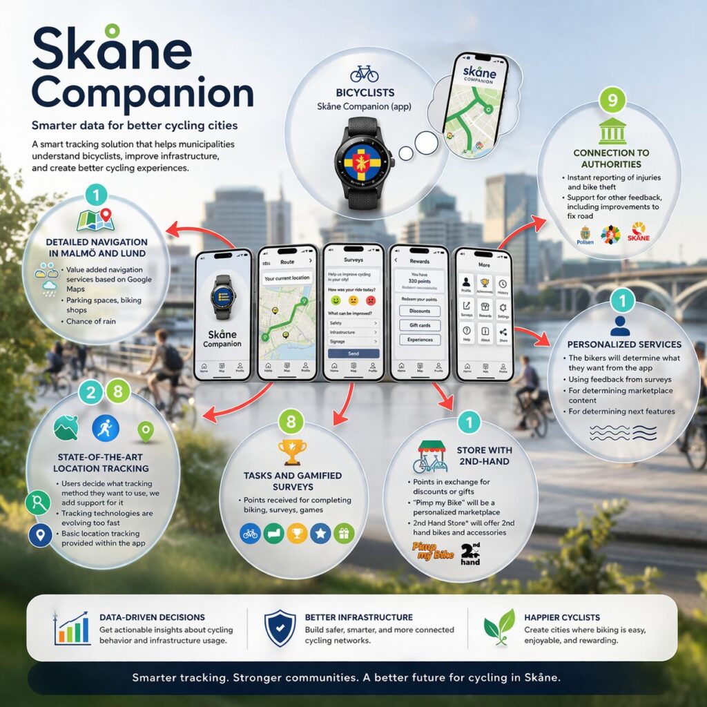
I co-designed a companion app for commuter cyclists that passively collected GPS traces and allowed voluntary friction reporting. The backend aggregated traces into heat maps and bottleneck clusters. A planning dashboard gave city engineers filtered views by route type, season, and incident density.
Results
Key Insight
Passive GPS data was rich but noisy. Speed-drop events at intersections were a reliable proxy for perceived danger that correlated with voluntary reports — but only after filtering for weather conditions and time of day. The signal was there, it just needed careful extraction.
Outcome
The platform influenced the prioritisation of 38 infrastructure interventions across the region. It was awarded a regional innovation grant in 2020 and expanded to a second region.
GPS Analytics · GIS · Python · D3.js · PostgreSQL